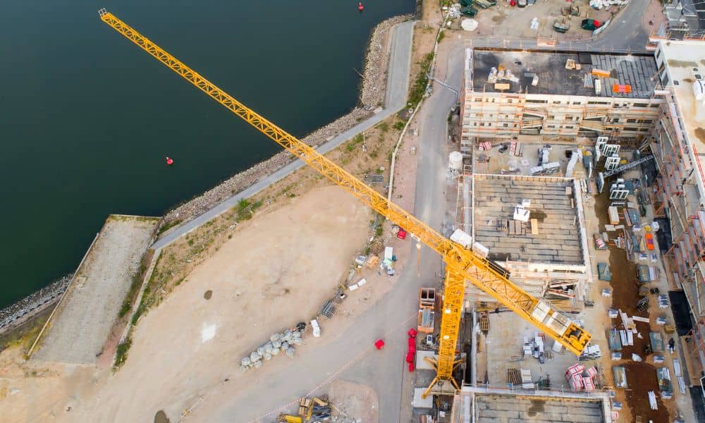
Charlotte’s skyline is changing fast, and nowhere is that more visible than in SouthPark. The city’s favorite shopping and business district is getting ready for a big transformation. Just this month, Hines announced plans for a 275-foot mixed-use tower near Sharon Road and Carnegie Boulevard, right across from SouthPark Mall. It’s a huge project that shows what’s next for Charlotte—taller buildings, tighter land parcels, and more complex zoning rules. And if you’re a developer, lender, or engineer, one detail can decide how smoothly your project goes: your ALTA Title Survey.
What an ALTA Title Survey Really Does for You
An ALTA Title Survey isn’t just formality. It’s the foundation that helps every rezoning, financing, and construction project move forward without issues. This detailed survey maps everything that could affect your property—like boundaries, easements, rights-of-way, and encroachments.
For projects like SouthPark’s new tower, where space is limited, an ALTA Title Survey makes sure there are no surprises later. It brings together legal records and on-the-ground measurements to confirm that what’s on paper matches what exists on the site.
Without it, developers could find out too late that a utility line, driveway, or access easement is sitting right where a new building should go. And in busy areas like SouthPark, one small mistake can cause big delays.
Why SouthPark’s Rezoning Push Makes ALTA Surveys Essential
SouthPark isn’t new land—it’s being reshaped. That means there are already old easements, underground utilities, and shared driveways in place. Turning older properties into modern developments means working around all of that.
Here’s why the ALTA Title Survey is so important right now:
- Rezoning requires double-checking. When a property changes use, every easement and boundary must be verified. Even small mismatches can send your plans back for revision.
- SouthPark lots are small and busy. Developers are trying to fit more into tighter spaces. You need exact data for setbacks, access, and shadows.
- Many people depend on one map. Lenders, lawyers, title companies, and engineers all rely on the same survey. If it’s wrong, everyone’s timeline suffers.
That’s why smart developers are ordering their ALTA Title Surveys before filing rezoning applications. It saves time, money, and stress.
The Real Risks of Waiting Too Long
Timing matters. The City of Charlotte’s rezoning schedule fills up quickly, and once you miss a meeting or hearing, your project could be delayed for months.
Imagine this: you’ve submitted your rezoning plans, but your surveyor later discovers that the legal property description doesn’t match what’s recorded. Now you need a title correction and a site plan update. That means delays, new fees, and possibly losing your place in the city review queue.
Problems like that shake investor confidence and frustrate everyone involved. Getting your ALTA Title Survey done early removes those risks. It confirms boundaries and legal details before you even start the rezoning process.
What Developers Face on the Ground in SouthPark
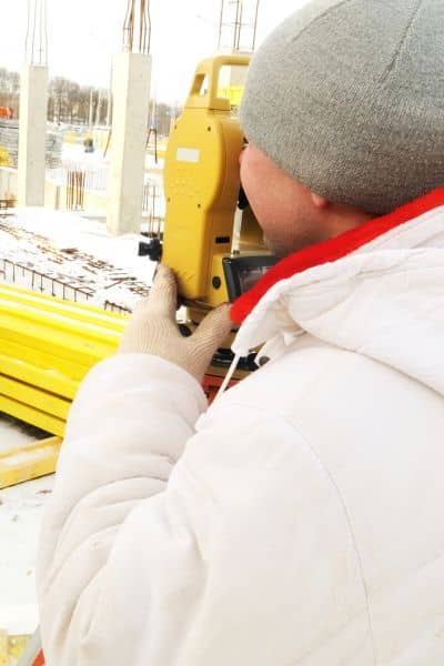
The physical challenges in this area are just as tough. Sharon Road and Carnegie Boulevard are surrounded by active businesses and lots of underground utilities.
Surveyors have to coordinate with the Charlotte Department of Transportation (CDOT) for right-of-way access. They often work at night or during low-traffic hours to capture accurate data. Add stormwater buffers, SWIM zones, and tree-save areas, and it’s clear that precision matters from the start.
A good survey team uses ALTA Title Surveys along with utility locating (SUE) and topographic data to give engineers a complete picture of the land. That helps contractors stake the project correctly and avoid costly fixes later.
How a Flawless ALTA Title Survey Speeds Up the Process
Getting your survey right the first time speeds up every part of development.
- Engineers get exact base maps for grading, drainage, and design.
- Lenders gain confidence knowing the property data is accurate.
- Title companies verify that all records match.
- City reviewers can approve plans faster without endless back-and-forth.
When all parties trust the same data, the process runs smoothly. Developers avoid rework, and projects move forward on time.
Lessons from Charlotte’s Building Boom
Developers across Charlotte have learned that older property records don’t always reflect what’s really on the ground. Plats drawn decades ago often miss newer easements or road widenings. Those gaps can cause problems during modern redevelopment.
In a district like SouthPark, where land value is high and every inch matters, mistakes are expensive. Multi-parcel projects need perfect alignment between legal records and survey data. A flawless ALTA Title Survey ensures everything matches—before any dirt is moved.
The Smart Way to Plan Ahead
Here’s what successful developers are doing now:
- Start with your title commitment. It lists every easement and restriction tied to the property.
- Hire a local licensed surveyor. Choose one who knows stormwater, zoning, and right-of-way rules.
- Order the ALTA Title Survey before design begins. It should guide your site layout, not follow it.
- Share the results with your full team. Transparency early prevents headaches later.
This step-by-step workflow keeps your project on track from start to finish.
Final Takeaway:
Charlotte’s development boom isn’t slowing down, and SouthPark is leading the charge. With so many projects competing for limited space, accuracy has become the most valuable part of the process.
An ALTA Title Survey might not make headlines, but it’s what keeps major projects from stalling. It’s how you confirm where your land starts, where your rights end, and what’s already hidden beneath the surface.
Before you file permits or present your rezoning plan, make sure your survey is complete, verified, and ready. It’s the simplest way to avoid setbacks and keep your project moving forward with confidence.
