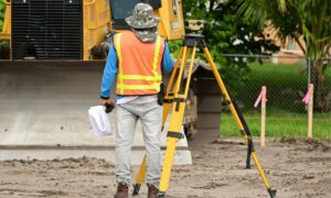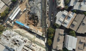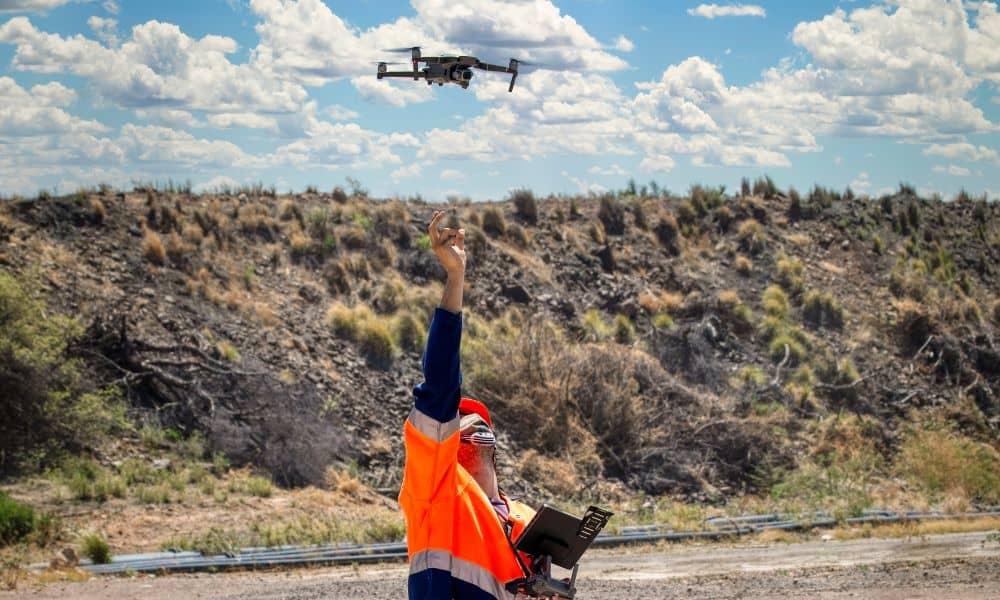
Drone surveying is changing the way land surveys get done. It’s faster, safer, and can reach places that are tough to access on foot. But, like any new technology, drone surveying comes with its own set of challenges. Real surveyors on Reddit have shared stories that reveal the risks and lessons behind the scenes. Understanding these risks helps both surveyors and clients get the best results without costly mistakes.
Why Drone Surveying Matters
Before we dig into the challenges, it’s important to know why drone surveying is becoming popular. Drones can cover large areas quickly, collecting high-resolution images and GPS data to create detailed maps. This means surveys that used to take days can be done in hours.
For construction projects, land development, or floodplain mapping, drone surveying saves time and money. Plus, it keeps surveyors safe by avoiding tricky terrain. But while drone surveying offers many advantages, it isn’t risk-free.
Real Stories from Surveyors: The Human Side of Drone Surveying
A Reddit user recently shared how their surveying team accidentally damaged $100,000 worth of equipment and vehicles over twenty years. Luckily, they had insurance, and the company survived. But this story highlights a bigger truth: mistakes happen, even to experienced surveyors.
These real-life stories remind us that drone surveying is still hands-on work, full of unexpected challenges. Surveyors face pressure to deliver fast, accurate results, and sometimes that pressure leads to errors. The key is learning from these experiences to avoid repeating the same mistakes.
Common Risks in Drone Surveying
Drone surveying has risks that can affect the project and your wallet. Here are a few of the most common:
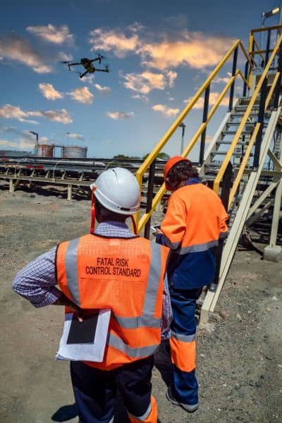
Equipment Damage: Drones are delicate machines. They can crash because of sudden weather changes, signal loss, or pilot error. Repairs or replacements can cost thousands, which may delay the survey and increase expenses.
Regulatory Compliance: Flying drones isn’t as simple as pushing a button. Surveyors must follow FAA regulations and local rules. Sometimes these laws change, or airspace restrictions pop up unexpectedly. Not following the rules can lead to fines or legal trouble.
Data Accuracy and Loss: A drone’s job is to collect precise data. However, if the operator isn’t trained properly, or if technical glitches happen, the data may be incomplete or incorrect. This can cause errors in the survey and lead to costly redesigns.
Training and Skill Gaps: Flying a drone and interpreting the data are two different skills. Some surveyors may be great pilots but not experts in processing data. Proper training in both areas is essential to ensure the final survey is reliable.
How Insurance Protects Surveyors and Clients
Given these risks, insurance plays a huge role in drone surveying. Most professional surveyors carry insurance to cover damage to drones, other equipment, and even third-party property.
This insurance protects clients too. If something goes wrong on your property, you won’t be responsible for the damages. Knowing your surveyor is insured gives peace of mind and shows they take risk management seriously.
How Surveyors Manage Risks Effectively
Professional drone surveyors don’t leave things to chance. They use several strategies to keep risks low:
- Training: Operators undergo FAA certification and continuous education to keep skills sharp.
- Pre-flight Checks: Before every flight, pilots check weather, equipment, and flight plans carefully.
- Maintenance: Drones get regular maintenance to prevent unexpected failures.
- Safety Protocols: Clear procedures exist for emergencies, like sudden weather changes or loss of control.
- Communication: Surveyors keep clients informed about potential risks and the steps they take to mitigate them.
These practices help avoid mistakes and ensure surveys are done right the first time.
What Clients Should Know Before Hiring a Drone Surveyor
If you need drone surveying, it pays to ask a few important questions. Find out if your surveyor:
- Has proper FAA licenses and certifications.
- Carries comprehensive insurance.
- Has a good track record with safe, successful projects.
- Uses modern, well-maintained equipment.
- Communicates clearly about the process and risks.
Choosing a surveyor who manages risks well means fewer surprises and a smoother project.
Final Thoughts
Drone surveying is a powerful tool that’s transforming land surveying. But it comes with challenges that no one should ignore. Learning from real surveyors’ experiences, like those shared on Reddit, helps the whole industry improve safety and reliability.
For clients and surveyors alike, understanding and managing risks is key to successful drone surveying. When done right, drones deliver faster, safer, and more accurate surveys — giving everyone confidence in the results.
If you’re considering drone surveying for your next project, look for professionals who prioritize risk management and safety. It’s the best way to protect your investment and get top-quality results.
