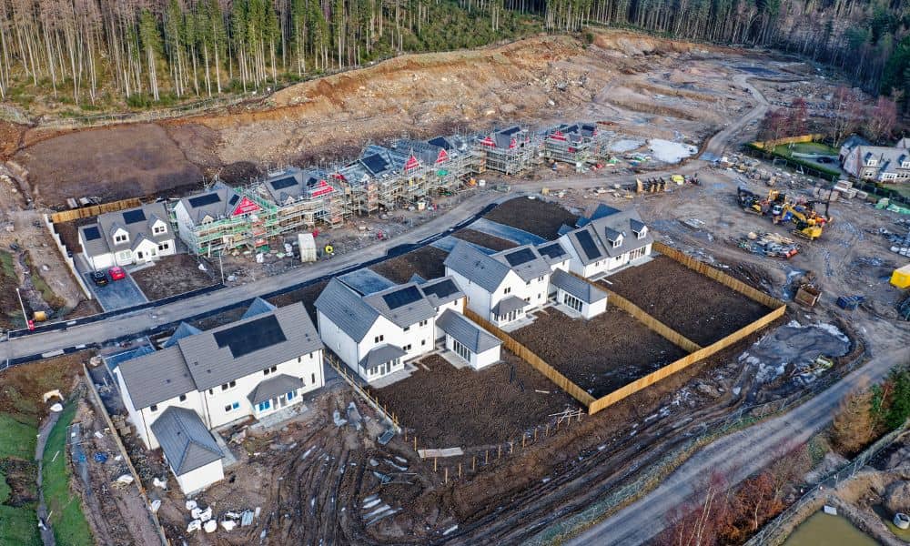
Wilmington is growing fast. New homes, businesses, and entire developments are popping up across the city. Behind every structure? A land survey. But while the skyline rises, one thing hasn’t kept pace—the culture inside Wilmington’s land surveying industry. And that’s becoming a real problem, especially when it comes to drone surveying.
Drone surveying is faster, safer, and more accurate than traditional methods. It helps deliver better results for developers, real estate professionals, and homeowners. Yet, many local surveyors still rely on outdated tools and old-school workflows. Why?
What Is Drone Surveying—and Why Should You Care?
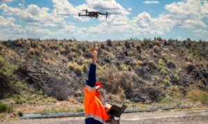
Drone surveying uses UAVs (unmanned aerial vehicles) to scan land from the sky. These drones collect high-resolution images and GPS data, which are then turned into detailed 3D maps and measurements.
Sounds high-tech? It is. But it’s also extremely practical. Here’s why:
- Speed: A survey that takes a few days on foot can be done in a few hours by drone.
- Accuracy: RTK drones (Real-Time Kinematic) provide centimeter-level precision.
- Safety: No need to walk through thick brush, wetlands, or construction zones.
- Cost: Faster surveys = lower labor costs = potential savings for you.
For projects that require topographic surveys, flood elevation certificates, or construction staking, drone surveying is a game changer.
So, with all those benefits… Why aren’t more surveyors using drones?
The Reddit Rant That Got Us Thinking
Not long ago, a user on Reddit vented about their experience in the surveying industry:
“Surveying is great. What makes it not great is the people in surveying… old school mindsets, outdated equipment, long hours…”
It struck a nerve. Many others chimed in with similar frustrations. And while that post was aimed at industry insiders, it reflects a real issue clients feel too.
You might have already experienced this—waiting too long for a survey, getting confusing results, or hiring a team that doesn’t use modern tools. That’s what happens when firms resist change.
Why Some Surveyors Still Resist Drone Surveying
This resistance isn’t about laziness. It’s about comfort zones.
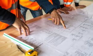
Many seasoned surveyors have spent decades doing things the same way—with tripods, total stations, and tape measures. These tools work, no doubt. But refusing to adapt has consequences. Here’s what’s really happening behind the scenes:

- Fear of new tech: Some firms worry that learning new equipment will slow them down or lead to mistakes.
- Licensing confusion: Drone regulations can be tricky, and becoming a licensed drone surveyor requires extra training and certification that some firms hesitate to pursue.
- Training gaps: It’s not enough to simply fly a drone; analyzing the complex data requires skilled professionals.
- Cost of equipment: High-quality drones aren’t cheap, and investing in them takes commitment.
The result? Clients often face longer wait times, outdated survey results, or higher costs because some firms resist change.
Wilmington’s Growth Demands Better Surveying Tools
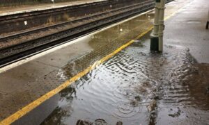
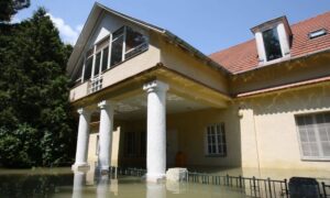
Right now, Wilmington is in the middle of a construction and development boom. Commercial projects are expanding. New subdivisions are being approved. Floodplain mapping is becoming more urgent due to rising water concerns.
All this means faster, more accurate surveys are in high demand.
Drone surveying is perfect for:
- Flood elevation surveys in coastal areas
- Subdivision planning and grading
- Topographic surveys for new home builds
- Construction staking on active job sites
If your surveyor isn’t using drones—or at least exploring them—you might face delays, extra costs, or outdated results.
Real-World Impact: What It Means for You
Let’s say you’re buying land. You need a boundary survey and a flood elevation certificate. A firm using drones can get you the info faster, often within a day or two, with clean, digital visuals your builder or lender will love.
Or maybe you’re a developer planning 30 lots. Traditional surveying might slow down your timeline by weeks. But with drone data, you can move from rough plans to grading in record time.
These aren’t small wins—they’re the kind of edge that helps you close deals, avoid rework, and impress clients.
What to Look for in a Modern Surveyor
If you’re hiring a land surveyor, ask these questions:
- Do you use drone surveying?
- Can you provide digital models or topographic maps?
- How fast can you deliver results?
- Are your elevation surveys FEMA compliant?
You don’t have to be a tech expert to expect good service. Just make sure the firm you hire isn’t stuck in the past.
The Bottom Line: Time to Catch Up
Drone surveying isn’t a trend. It’s not a “nice-to-have.” It’s the standard in many parts of the country—and it should be here in Wilmington, too.
Sure, there will always be a place for boots-on-the-ground work. But ignoring drones altogether? That’s like refusing to use GPS because you trust paper maps more.
As a client, you deserve the best tools, fastest timelines, and most accurate data—especially when your money, your project, and your peace of mind are on the line.
Final Thoughts
The tools are here. The demand is growing. But culture? That’s still catching up.
If you’re a homeowner, developer, or builder, don’t settle for surveyors stuck in the past. Look for professionals embracing drone surveying and delivering the speed and precision modern projects require.

