
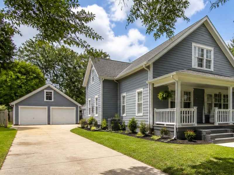
A detached garage feels like a simple project. Pick a spot, pour a slab, and start framing. Then the permit comes back with a note that the garage sits too close to the line or right on top of an easement.
A residential survey helps you avoid that delay. It maps your lines, easements, and ground so you can see where a garage can really go. Get it done before you buy plans or hire a builder, and you’ll save time and money.
How Can a Residential Survey Reveal Buildable Space Beyond the Main House Footprint?
A residential survey shows the open space left on your lot once the house, driveway, and other features are mapped. The surveyor locates your property lines and every structure near them. Then you can see how much room is left in the side or back yard.
That open space isn’t always buildable. Setback lines, easements, slopes, and trees can all eat into it. A survey puts these limits on one drawing so the true building area is easy to spot. Ask the surveyor to show:
- Property lines and corner markers
- The house, deck, patio, and sheds
- Driveway edges and walkways
- Fences, walls, and large trees
- Setback lines, if your zoning office provides them
Once you see the space, you can test garage sizes. A two-car garage needs more room than many owners expect, especially with space to turn in. Sketching it on the survey early shows if your plan fits.
The Hidden Influence of Rear-Lot Easements on Detached Garage Positioning
Rear-lot easements often decide where a detached garage can go. An easement is a strip of land others have the right to use for a set purpose. In many neighborhoods, the back few feet of each lot hold utility or drainage easements.
Building over an easement is usually not allowed. The utility or the town may need to reach lines, swales, or pipes there. If a garage blocks that access, you could be asked to move or remove it.
Easements show up in recorded plats, deeds, and title reports. A residential survey maps the ones in those records and can show signs of others, like utility boxes or drainage ditches. Bring your closing papers to the surveyor so nothing gets missed.
Some easements are wide. Others are narrow but run along two sides of the yard. Seeing them drawn to scale makes it clear how far forward the garage must sit.
From Driveway Approach to Garage Entrance: Evaluating Grades for Safe Vehicle Access
Grades decide how easy it is to drive into the garage. A topographic survey, or topo, shows the rise and fall of the ground with contour lines and spot heights. Many owners add a topo to their residential survey for garage projects.
A steep driveway can cause cars to scrape or slide in bad weather. Water can also run downhill toward the garage door. Local rules may limit driveway slope, and those limits vary by town.
The survey should show the height of the street, the current driveway, and the planned garage spot. Your builder can then set the slab height and shape the approach. A small change in slab height can fix a lot of water and access problems.
Think about turning room too. Cars need space to swing into a side-facing door. The survey lets your builder lay out that path before anything is poured.
Why Roof Overhangs and Foundation Edges Matter When Measuring Accessory Structure Setbacks
Setbacks are the minimum distances a building must stay from a property line. Accessory buildings, like detached garages, may have their own setback rules. These can differ from the rules for your house.
How a setback is measured matters. Some codes measure to the foundation, while others measure to the closest part of the building, which can be the roof overhang or gutter. A one-foot overhang can push a garage over the line on paper even when the walls fit.
Ask your zoning office how setbacks are measured for accessory buildings. Then share that answer with your builder and surveyor. The plot plan should show both the wall line and the roof edge so the reviewer sees the full picture.
Height can matter as well. Some codes tie setbacks to building height or limit how tall an accessory building can be. Check these rules before you pick a garage design.
Using a Residential Survey to Identify Boundary Conflicts Before Garage Construction Begins
A residential survey can reveal boundary conflicts before you dig. The surveyor compares your deed and plat with what’s on the ground. Fences, sheds, or driveways that cross a line will show up on the map.
Conflicts are common on older lots. A fence may sit a few feet off the true line. A neighbor’s shed may sit partly on your land, or yours on theirs.
These issues are much easier to handle before a garage goes up. Once a slab is poured, moving it costs real money. If you find a conflict, talk with your neighbor first and bring in a lawyer if needed.
After the plan is set, ask the surveyor to stake the garage corners. Staking marks the exact spots on the ground so your builder starts in the right place. Some towns also ask for a foundation location check before framing, so confirm what yours needs.
Frequently Asked Questions
Do I need a residential survey to build a detached garage?
Many towns ask for a plot plan or survey with the permit application. Even when it’s not required, a survey helps you avoid setback and easement problems. Rules vary by town and county. Check with your permit office before you apply.
Can I use the survey from when I bought my house?
It may help, but it might not be enough. Older surveys may not show new fences, sheds, or easements. Your town may also want a recent survey or a plot plan drawn to scale. Ask the surveyor if your old survey can be updated instead of starting over.
How close can a detached garage be to the property line?
That depends on your local zoning rules. Accessory buildings may have different setbacks than the house. Corner lots and lots in some districts may have extra rules. Your zoning office can tell you the numbers for your lot.
Can I build a garage over a utility easement?
In most cases, building over an easement isn’t allowed. The easement holder may need to reach lines or drains there. Some holders allow small exceptions in writing. Ask the utility or town before you plan anything in that space.
How long does a residential survey take?
Time varies with lot size, records, and the season. A simple lot may take a few weeks from order to final map. Adding a topo or staking can add more time. If your build date depends on the survey, order it early.


