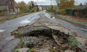
If you own or plan to buy a coastal home, this is the time to pay attention. Recently, videos of beachfront homes collapsing into the ocean went viral. The homes didn’t crumble slowly—they dropped fast as waves carved out the sand beneath them. What most people don’t realize is this: before a house collapses, the land collapses first. And that’s where an elevation survey becomes a powerful early warning system.
These dramatic collapses are a wake-up call for anyone along the North Carolina coast. Many Wilmington buyers dream of living near Wrightsville Beach, Carolina Beach, or Kure Beach. The sand looks peaceful. The ocean looks calm. The sunsets are perfect. But the coastline is constantly moving, sinking, and reshaping itself. That means the most beautiful parcels are often the most vulnerable. And the warning signs rarely appear to the eye.
Why the Coast Is Changing Faster Than Homeowners Realize
North Carolina’s coastline shifts every year. Storms carve dunes. Hurricanes push water farther inland. Daily tides pull sand back out to sea. What used to be a safe distance from the water can shrink silently over time. A house that was once protected by a wide dune might sit dangerously close to breaking waves today.
Even if the collapses you see online happened farther north, the same conditions apply here. The ocean doesn’t care about county lines. If the ground can’t support a structure, the house loses—every time.
The Hidden Risk Your Eyes Can’t See
Your home does not fail the day water hits the porch. It fails the moment the land drops below safe elevation levels. The only practical way to measure that change is through an elevation survey.
Unlike a basic boundary survey, an elevation survey focuses on the relationship between your structure and the changing land around it. It shows whether the ground beneath you is stable enough and high enough to protect your home from storms, erosion, and rising water. It reveals the danger before you see physical damage.
What an Elevation Survey Tells You
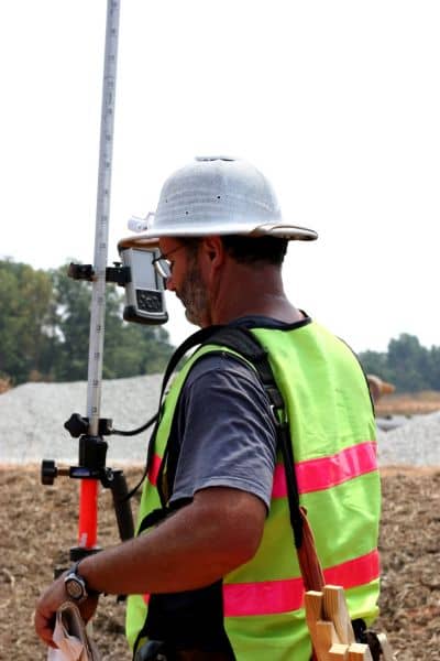
An elevation survey can show:
- How high your home sits compared to required flood levels
- Whether the ground has lowered since construction
- If waves could reach the foundation during storms
- How much protective buffer you still have
- Whether your lowest floor is positioned safely
It isn’t complicated once someone explains the numbers. And the information can protect you from making a costly mistake.
The Red Flags Buyers Often Ignore
Here are signs that trouble is forming—long before collapse:
- The land elevation changed after recent storms
- The dune line has quietly moved closer
- The ground now sits lower than it did when the home was built
- The elevation certificate on file is outdated
- Insurance premiums don’t match the listing confidence
These issues don’t make headlines until something dramatic happens.
A Wilmington Scenario That Happens More Than You Think
Imagine you find a gorgeous ocean-view home near Carolina Beach. The price looks great. The backyard is peaceful. The owner says, “We’ve never had a problem.” You close the deal without asking for a fresh elevation survey.
Two years later, a major storm arrives. The dune shifts closer. Tides rise higher than before. Suddenly, the home’s foundation is exposed, and your insurance skyrockets because your home is no longer sitting high enough above the flood level.
All of this would have shown up clearly in a recent elevation survey.
One simple step could have changed your decision—or at least your offer.
What Smart Buyers Are Doing Now
Coastal buyers today are more informed than ever. Instead of relying on assumptions or outdated documents, they are:
- Ordering updated elevation surveys
- Asking for recent elevation certificates
- Confirming how much ground height buffer exists
- Assessing erosion trends before closing
This doesn’t just protect the home—it protects the buyer’s savings, insurance budget, and long-term plans.
If You Already Own Coastal Property
You don’t need to panic, but you should stay informed. A new elevation survey can tell you:
- If your home sits safely above current flood levels
- Whether erosion has lowered the ground beneath you
- If improvements are needed to stay safe long-term
Sometimes the news is better than expected. Other times, it reveals needed adjustments. Either way, clarity is power.
Final Thoughts
The videos of collapsing beach houses shock viewers, but the collapse doesn’t start when the house falls—it starts when the land fails first. For coastal homeowners, an elevation survey is more than paperwork. It is the earliest warning sign you will ever receive.
It tells you whether your dream home is safe today—and whether it will stay safe tomorrow.
Don’t wait for the foundation to shift before you get answers.
Get the elevation survey. Know the truth now, while the ground is still beneath your feet.

