High-Rise Growth Is Exposing Gaps in Stormwater Design

Charlotte is building up fast. New towers, mixed-use projects, and dense developments keep reshaping the skyline. Yet while cranes rise higher, stormwater design often lags behind. In dense urban sites, rain still falls the same way, but the space to manage it keeps shrinking. Because of that, many projects now face delays, redesigns, and added […]
How Infrastructure Growth Is Changing Roadway Design
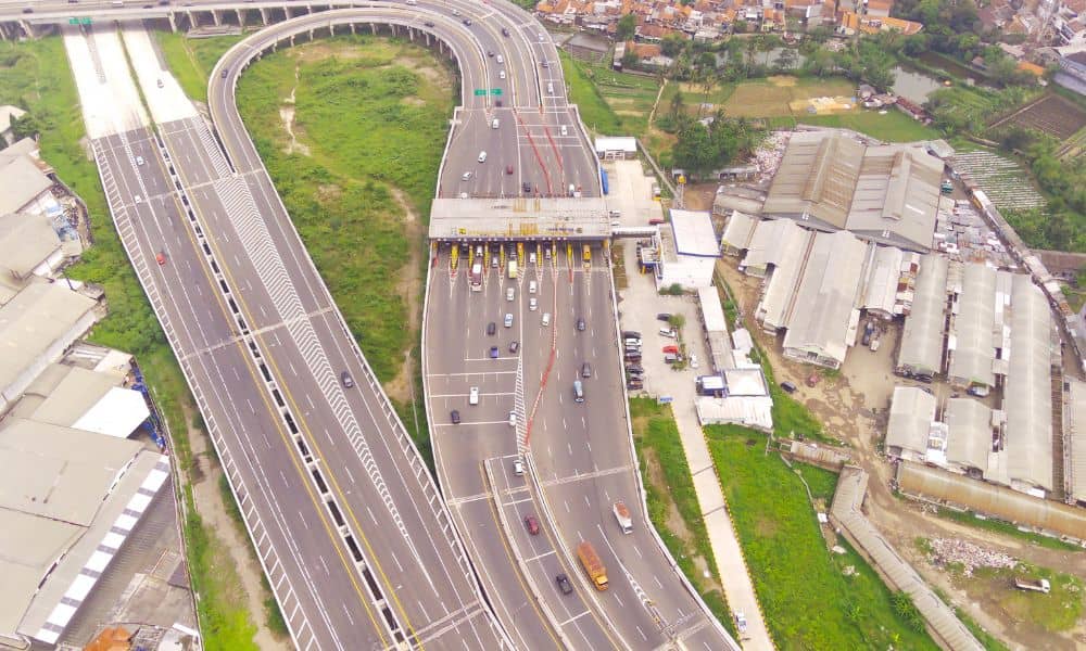
Raleigh keeps growing, and roadway design now affects daily life more than ever. One project shows this better than any other: the Complete 540 expansion. As the final section of NC-540 moves forward, engineers must solve real problems that impact traffic, nearby land, and future development. This project does not only add a new road. […]
Why Coastal Growth Plans Are Driving Boundary Line Surveys
Wilmington is growing fast. New coastal growth plans are changing how land can be used, developed, and approved. Because of that, boundary line surveys now sit at the center of many property decisions. Homeowners, developers, and investors all face the same question: Where exactly does my property begin and end under the new rules? That […]