Why Land Survey Cost Changes When Corner Markers Are Missing
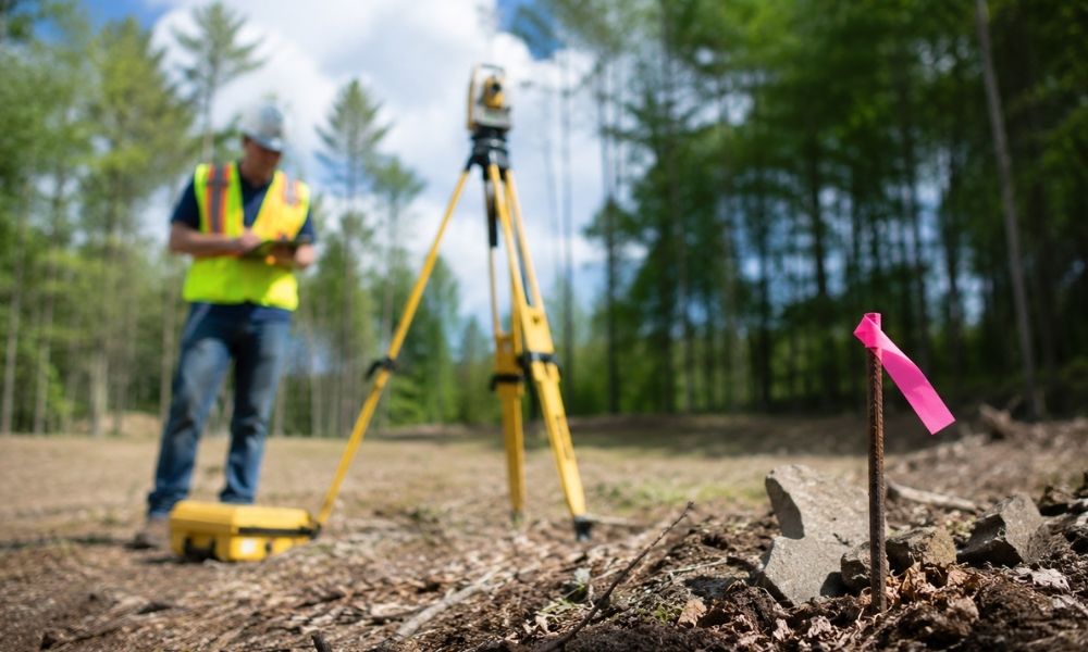
Missing corner markers are one of the most common reasons land survey cost goes up. When a surveyor arrives on site and the original monuments are gone, the job gets harder immediately. More time in the field. More time in the office. More research before anyone sets foot on the property. This article explains what […]
Residential Land Surveyor Checks That Can Prevent Septic System Surprises
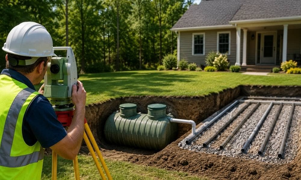
Most developers focus on zoning, utilities, and road access when evaluating a property. Septic systems rarely come up until something goes wrong. That is when costs spike, timelines shift, and deals fall apart. A residential land surveyor can catch these problems before they become expensive. Here is what the survey process actually reveals, and why […]
Boundary Surveyor Reports That Reveal Old Shared Driveway Problems
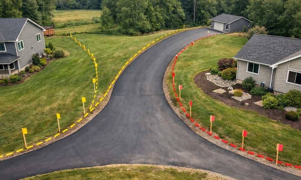
A boundary surveyor can find something most developers never check. A shared driveway used for decades may sit partly on the wrong property. In Charlotte, NC, this happens more than you might think. Older land, rural tracts, and split family properties all carry history. That history does not always show up on a title search. […]