If you are planning new development, one thing can decide whether your project moves forward or stalls: the construction survey. In the past, site plans often hit roadblocks over traffic or zoning. Today, stormwater has become the true gatekeeper. County boards, engineers, and neighbors now want proof that your site will handle runoff safely. That proof doesn’t come from a nice rendering—it comes from survey data collected in the field.
Recently, Brunswick County denied a 299-lot project over drainage concerns, leading the developer to file a lawsuit. Around the same time, a proposal for more than 12,000 new homes drew heavy backlash over infrastructure and stormwater. These stories made headlines in the Cape Fear region and showed how stormwater has moved from a side issue to a deal breaker. For builders, engineers, and property owners, the message is clear: a project without strong survey data is at serious risk.
Stormwater Is the New Gatekeeper
Wilmington sits on coastal plain soils. They drain slowly, and with flat grades, water tends to linger. Add in hurricanes, nor’easters, and higher rainfall, and you get real concerns about flooding. Local officials face pressure from residents to protect neighborhoods from runoff that can overwhelm ditches, ponds, and yards.
When a planning board reviews a subdivision or commercial site, they don’t just ask about density or traffic counts. They want to know exactly where water will go after each rainstorm. Will it flow into a neighbor’s yard? Will it back up into the street? If the design is unclear, boards often deny or delay approvals. That is why surveys have become central to stormwater compliance.
How a Construction Survey Protects Approvals

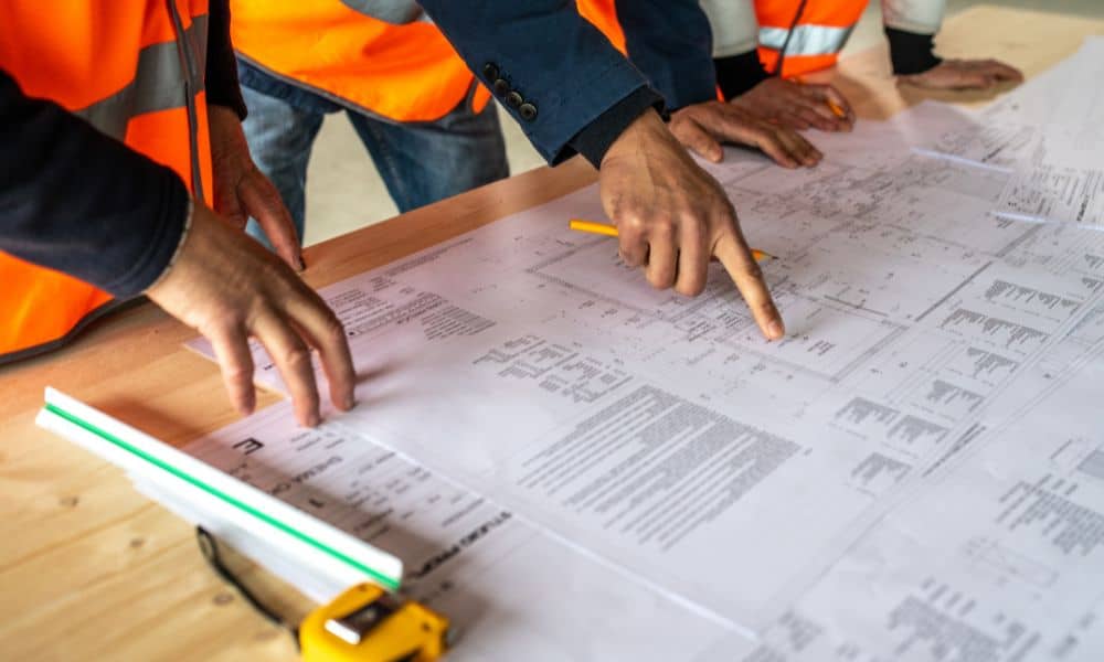
A construction survey is more than marking property corners. It provides precise vertical and horizontal data that engineers and boards rely on. Here are some key ways it matters:
- Tight vertical control: Even a few inches of slope can decide whether water drains or pools. A survey proves the design matches reality.
- Utility and outlet tie-ins: Boards want to see where pipes, culverts, and ditches connect. Survey crews measure these points so engineers can show safe flow paths.
- Best Management Practices (BMPs): Ponds, swales, and infiltration basins must be built as designed. Surveyors verify that depths and slopes meet the approved plan.
- Pre- and post-construction checks: A survey can compare runoff assumptions before work begins to the actual results after grading. This reduces disputes.
- Stormwater permits and SWPPP controls: Erosion fencing, sediment basins, and check dams all require staked locations. Without survey input, contractors often guess—and inspectors catch mistakes.
When these details are correct, boards feel confident to approve. When they are missing, denial is far more likely.
Why Projects Face Extra Scrutiny
Every city has drainage issues, but the coastal setting makes stormwater unique. The clay soils swell when wet and shrink when dry. That leads to cracks, settlement, and unpredictable runoff. Flat topography compounds the risk, since water has little slope to move downhill.
Another layer is regulation. Projects near the Intracoastal Waterway or tidal creeks often fall into Coastal Area Management Act (CAMA) Areas of Environmental Concern. These zones require even tighter hydrologic proof. Properties in FEMA flood zones also need certified elevations, which tie back into survey data.
In short, the bar is higher here than in many inland counties. Builders who assume “standard plans” will pass are often caught off guard.
What This Means for Developers and Owners
Imagine spending months on design fees, engineering models, and legal costs—only to see your plan denied over a stormwater question you could have solved with an early survey. It happens more often than most people think.
For a developer, a construction survey is not just another line item. It is insurance against delays. It tells your engineer, your contractor, and the county that your numbers are right. For a property owner, it can mean the difference between a smooth permit process and a frustrating battle.
One local builder explained it well: “Stormwater doesn’t lie. You either have the right slopes and tie-ins, or you don’t. The survey shows it on paper.”
The Approach to Staying Ahead
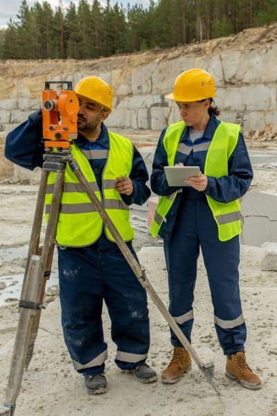
Successful projects in the Cape Fear region now follow a simple pattern: bring in the surveyor early, not at the last minute. Survey crews establish benchmarks, collect topographic data, and set control points before engineers finalize designs. This ensures that drainage plans rest on accurate ground truth.
During construction, surveyors return to stake out ponds, swales, and drainage channels. They check that as-builts align with the approved plan. At final approval, survey certificates and elevation records give officials the confidence to sign off.
That cycle—early, during, and after—is what boards expect now. Skipping steps may save money in the short term, but it almost always costs more when redesigns, delays, or lawsuits follow.
Lessons from the Recent News
The Brunswick County lawsuit is still moving through the courts, but the message is already clear. Boards will not hesitate to block projects when stormwater evidence feels weak. Public opposition is growing, and officials are responding.
For developers, this should not feel discouraging. Instead, it is a roadmap. Projects backed by detailed surveys stand out as responsible and ready. They move faster through approvals and gain more trust from neighbors. In a competitive market, that trust is worth real dollars.
Closing Thoughts
Stormwater has become the make-or-break issue for development in Wilmington. While engineers design drainage systems, the backbone of those designs is survey data. Construction surveys give boards the assurance they need to approve. Without them, even the best projects can fail.
If you plan to build a new stormwater era, don’t treat surveying as an afterthought. Make it the first step. Partner with a licensed land surveyor, gather accurate topographic and control data, and let that precision guide the rest of your project. In today’s climate, it is not just smart—it is essential.


