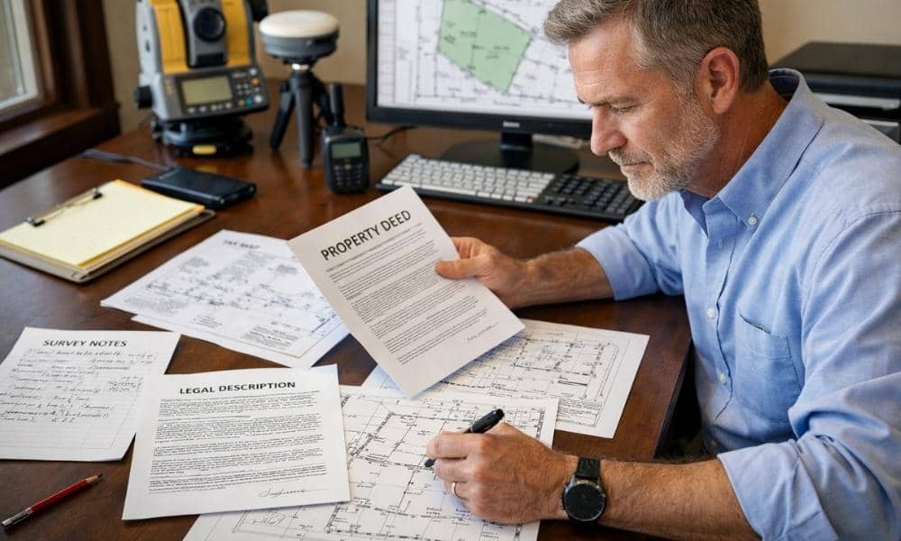
Survey companies ask for your deed before pricing a project. This surprises some developers. But it is one of the most practical steps in the quoting process. The deed tells a surveyor what they are actually dealing with before anyone picks up a field instrument.
This article explains why that document matters and what it changes about how a survey is scoped and priced.
Your Deed Reveals More Than Just Ownership
Most people think a deed only proves who owns a property. Survey companies see it differently.
A deed contains the legal description of your land. That description tells a surveyor how the property was originally defined. It may reference a recorded plat, a prior conveyance, specific bearings and distances, or an older subdivision map. Each of those details changes how much research the project will require.
Two properties can sit side by side, be nearly identical in size, and still require very different amounts of work. One may have a clean lot-and-block description tied to a recorded subdivision. The other may have a metes-and-bounds description that references a starting point from a deed recorded in the 1940s.
The deed is where surveyors learn which situation they are dealing with.
Older County Records Can Increase Research Time
Wilmington has a long development history. Many parcels in the Cape Fear region carry deed chains that stretch back decades. Some go back further than that.
When survey companies review an older deed, they look for references to prior conveyances, handwritten plat descriptions, and predecessor parcels. These references can lead to documents that are difficult to locate. Some older records were never fully digitized. Others require manual searches through New Hanover County Register of Deeds archives.
That research happens before any field crew leaves the office. It is a real part of the job, and it takes time.
If a surveyor quotes a project without reviewing the deed first, they may not know that level of research is coming. That gap between the original quote and the actual scope creates problems for both the developer and the survey company.
A Legal Description Helps Survey Companies Estimate the Scope of Work
Not all legal descriptions are the same. Survey companies pay close attention to which type is in the deed because it shapes the entire project.
There are three common types:
Lot and block. This ties a property to a recorded subdivision plat. It is usually straightforward. The plat is on file, the boundaries are referenced, and the research pathway is clear.
Metes and bounds. This uses bearings, distances, and physical monuments to define a boundary. It can be precise or it can be vague, depending on how old the description is and how well the original work was documented.
Reference to an older plat or deed. Some descriptions simply point to a prior document. That means the surveyor has to locate and review that prior document before understanding the current parcel.
Knowing which type you have lets survey companies give you a realistic estimate. Without the deed, they are guessing. If you are buying land and want to understand this further, see what to check before purchasing property.
Deeds Can Reveal Missing Information Before a Survey Begins
Sometimes a deed references a document that no longer exists or is incomplete. A plat may have been recorded but later lost. A prior conveyance may describe a parcel that was later reconfigured with no updated documentation.
When survey companies catch these issues during deed review, they can address them before the project starts. That matters for developers working on a timeline.
If a surveyor discovers a missing reference after field work has already begun, the project stops. Research has to catch up. Schedules shift. In some cases, additional legal work is required before the survey can move forward.
Reviewing the deed first is not a delay. It is how survey companies prevent delays.
Reviewing the Deed Helps Create a More Accurate Proposal
Survey companies do not ask for your deed to slow things down. They ask for it because pricing without it leads to change orders, scope revisions, and surprises at the worst possible time in a development project.
When a surveyor reviews the deed before quoting, they can account for:
- Research time tied to older or complex descriptions
- Potential gaps in the recorded history
- Field challenges related to the type of legal description used
- Likely document retrieval needs at the county level
A quote built on that information is reliable. A quote built without it is a rough estimate that may change once the real research begins.
For developers, an accurate quote from the start protects the project budget and the schedule.
Frequently Asked Questions
Why do survey companies ask for a copy of my deed?
Survey companies use the deed to review the property’s legal description, prior references, and recorded information before estimating the work involved. This helps produce a more accurate quote.
Can I get a survey quote without providing my deed?
Sometimes, providing the deed usually allows for a more accurate estimate. Without it, a surveyor may not know the full research requirements before work begins.
What if I cannot find my deed?
A survey company may be able to help locate recorded documents through county records. Having a copy available speeds up the quoting process, but it is not always required to get started.
Does an older deed affect the cost of a survey?
Older deeds can require additional research, especially when they reference historical plats, prior conveyances, or handwritten legal descriptions that are not easy to locate.
What information in a deed is most important to survey companies?
The legal description, parcel references, recorded book and page numbers, and any references to previous surveys or plats are the most useful details.